Samuel Ragwa demands 1963 map in boundary row

Tourists at the Meru National Park.

What you need to know:
- Governor claims part of Meru National Park.
- County boss asks Swazuri team to help put the record straight.
Governor Samuel Ragwa wants a 1963 map to be used to determine where the Meru National Game Park lies.
The Tharaka Nithi County government has been pushing for the park to be returned to its territory, saying it was wrongly hived from it and taken to Meru.
The Meru County government has, however, insisted that the park rightfully falls under its jurisdiction.


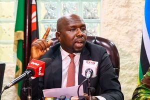
Addressing a press conference in Chuka Town on Thursday, Mr Ragwa said the boundary between the two counties, especially at the park was altered and a portion that belonged to his county taken to Meru.
The governor said the row over the boundary must be addressed to end injustices that occurred during former regimes.
“The truth must be known about the ownership of the Meru game park. The former regime’s leadership took advantage of poor representation of the Tharaka people and robbed us of many things,” said Mr Ragwa.
He further called on the National Land Commission to intervene and put the record straight on the boundary.
The governor said the county would meet on Wednesday to petition the Senate and National Assembly to address the issue.
Mr Ragwa maintained that his county would follow the law in handling the matter and urged locals to remain calm.
“As leaders, we are not calling for any misunderstanding or conflict between the people of Meru and Tharaka Nithi counties. It is our role as leaders to handle issues as your representatives and all the processes should follow the guidelines provided by the Constitution of Kenya,” he said.
The governor claimed the 1963 demarcation map shows clearly the original boundary between the two counties.
Mr Ragwa said his county was ready to meet Meru leaders for talks to address the issue under the guidance of the land commission.